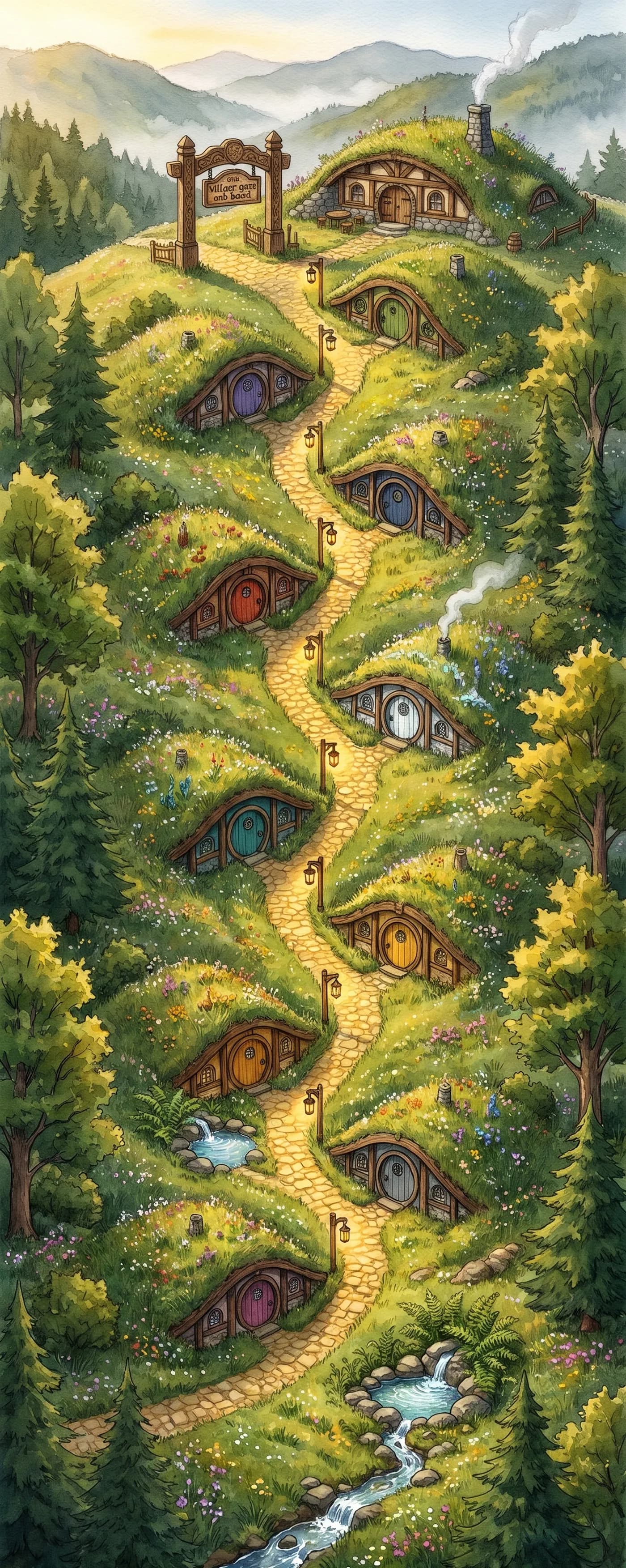
the village map
Walk through the village
The map is drawn on the real topographic survey of the land. Tap a house to see what hides behind its door.
Tap a house
the land in numbers
A real hill, measured to the centimetre
- Area
- 2,914 m²
- Length × width
- 116 × 24–26 m
- Elevation
- 269–297 m
- Average slope
- ≈ 20%
- Springs on the land
- 2
And a second plot. We've bought another ≈ 5,000 m² nearby: room for the village to grow and, most likely, the visitor car park. Its plan will follow once it has been surveyed.
seen from the side
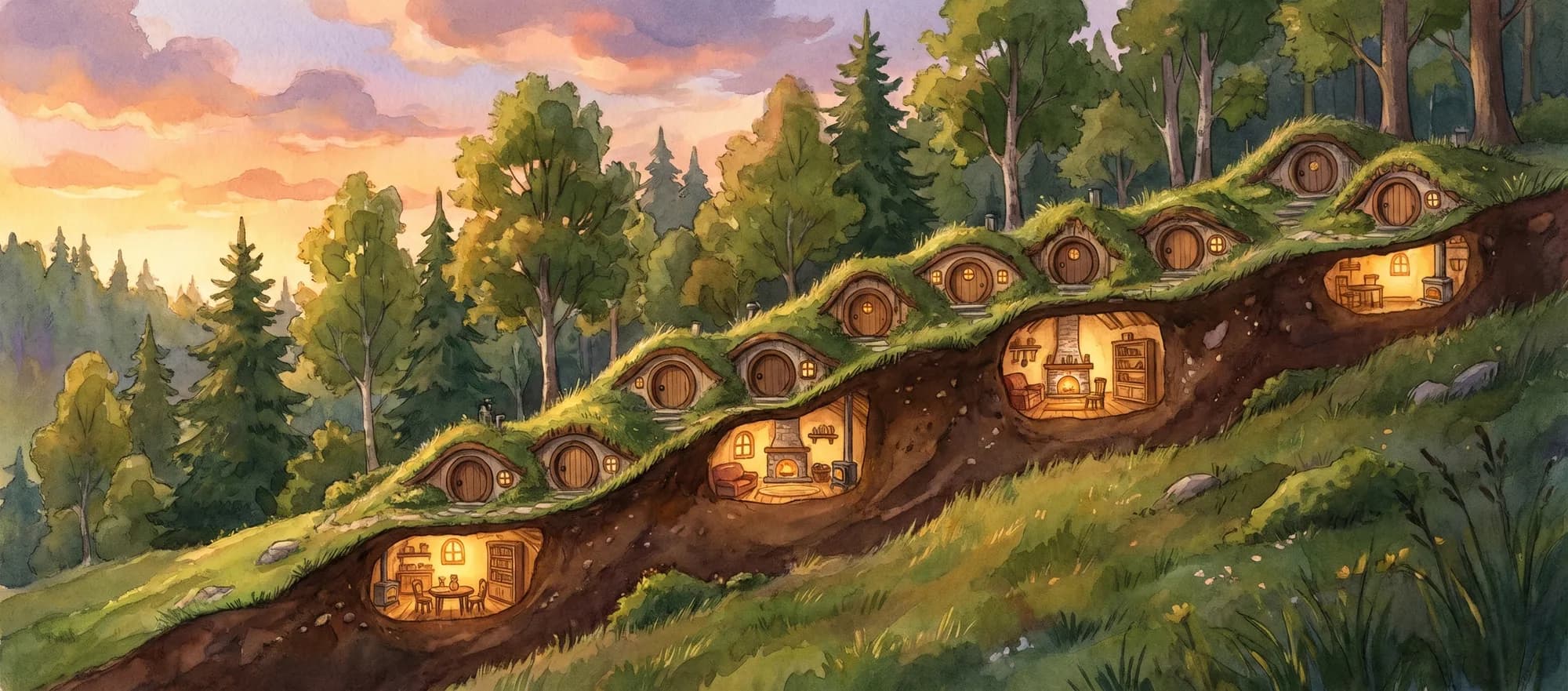
How the houses sit in the slope
The real profile of the hill from the gate at the top down to the bottom, each house at its own level. Tap a house to step inside.
- 1Mossdoor
- 2Starroot
- 3Owl's Rest
- 4Ember Burrow
- 5Salt Lantern
- 6Fern Hollow
- 7Honeywell
- 8Brookhearth
- 9Stonecap
- 10Mistdown
 concept art
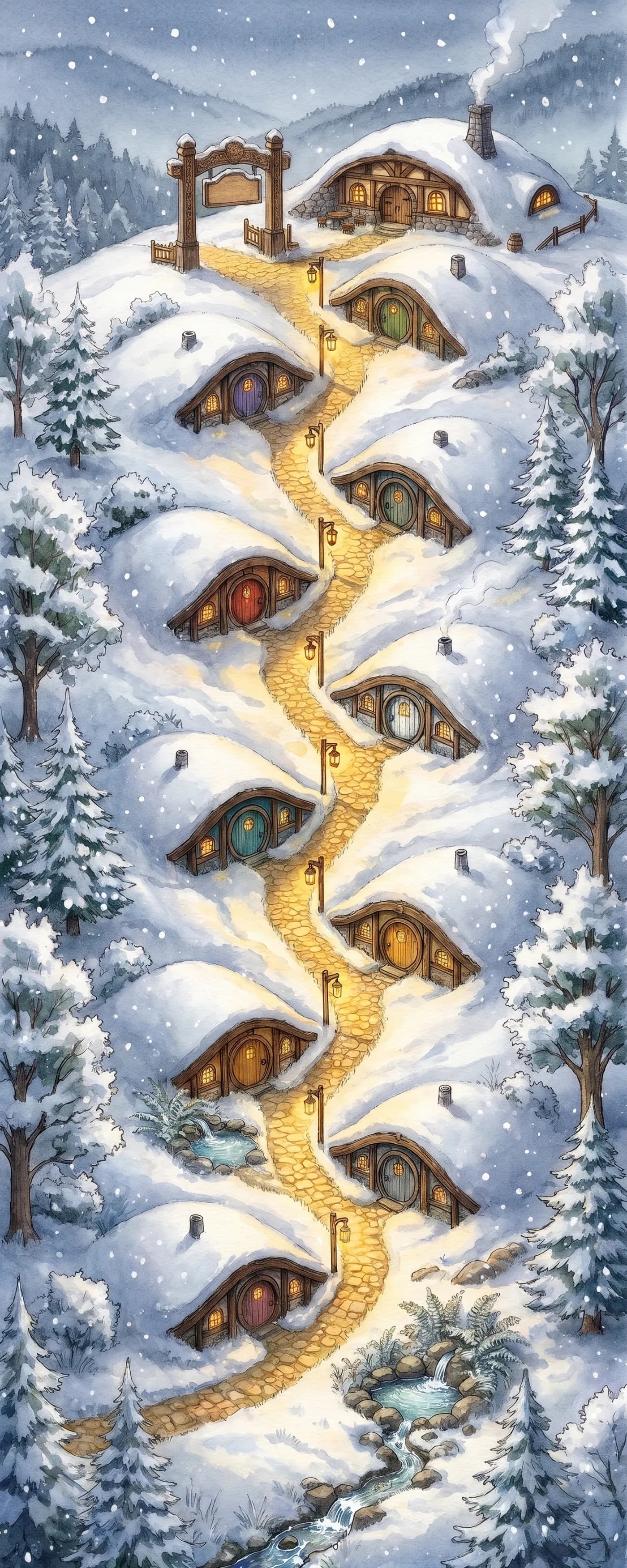 concept art